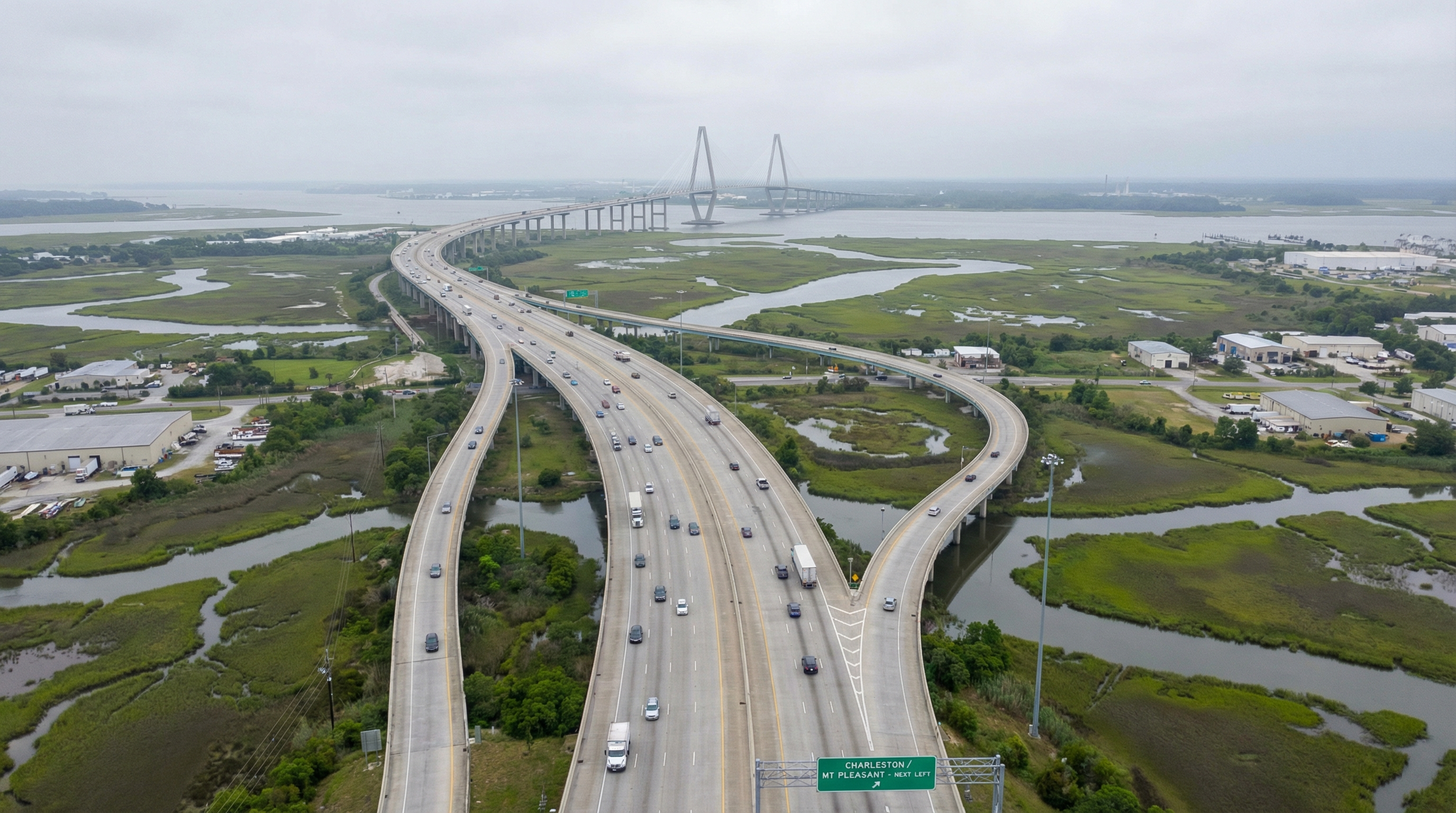
If you've spent more than a week in Charleston, you already know the traffic question. It's the first thing relocating buyers from the Northeast ask me, and it's the one concern that can change a neighborhood decision faster than price, schools, or proximity to the beach. Charleston County's proposed 2026 transportation sales tax -- projected at roughly $4.25 billion over 25 years -- is the most significant infrastructure commitment this region has considered in a generation. And it changes the commute calculus for nearly every neighborhood I serve.
But here's what most coverage gets wrong: this isn't one project. It's dozens of projects across different corridors, different timelines, and with very different implications depending on where you live or where you're considering buying. Let me break it down by neighborhood, because that's how you'll actually feel the impact.
What the Sales Tax Actually Funds
The proposed program covers road widenings, intersection improvements, transit infrastructure, and bike and pedestrian projects across Charleston County. The key corridors getting attention are Highway 17 from Mount Pleasant to downtown, the I-26 corridor through North Charleston, Glenn McConnell Parkway in West Ashley, Long Point Road near Daniel Island, and Clements Ferry Road. Each of these has been a bottleneck for years, and the funding would allow phased construction over a 25-year period.
The scope matters. This isn't a single road widening that helps one neighborhood. It's a county-wide investment that, if executed well, reshapes which neighborhoods feel "close" and which feel "remote." That perception -- the felt distance between home and work, home and school, home and the things you do on a Saturday -- is what drives property values more than almost any other factor in a metro area with Charleston's geography.
Mount Pleasant: Highway 17 and the Bottleneck Everyone Knows
Highway 17 through Mount Pleasant is the corridor everyone complains about, and rightly so. The stretch from the Ravenel Bridge through Shem Creek and north past Towne Centre is consistently one of the worst commutes in the region. Funded improvements along this corridor would directly benefit buyers in communities like Hamlin Plantation, Dunes West, and Carolina Park -- all of which feed onto Highway 17 for the southbound commute into downtown or across the bridge.
For buyers weighing Mount Pleasant against downtown living, the Highway 17 question is often the deciding factor. Meaningful congestion relief doesn't eliminate the trade-off, but it narrows the gap enough that the space, schools, and value you get in Mount Pleasant become harder to argue against.
West Ashley: Glenn McConnell and the I-526 Connection
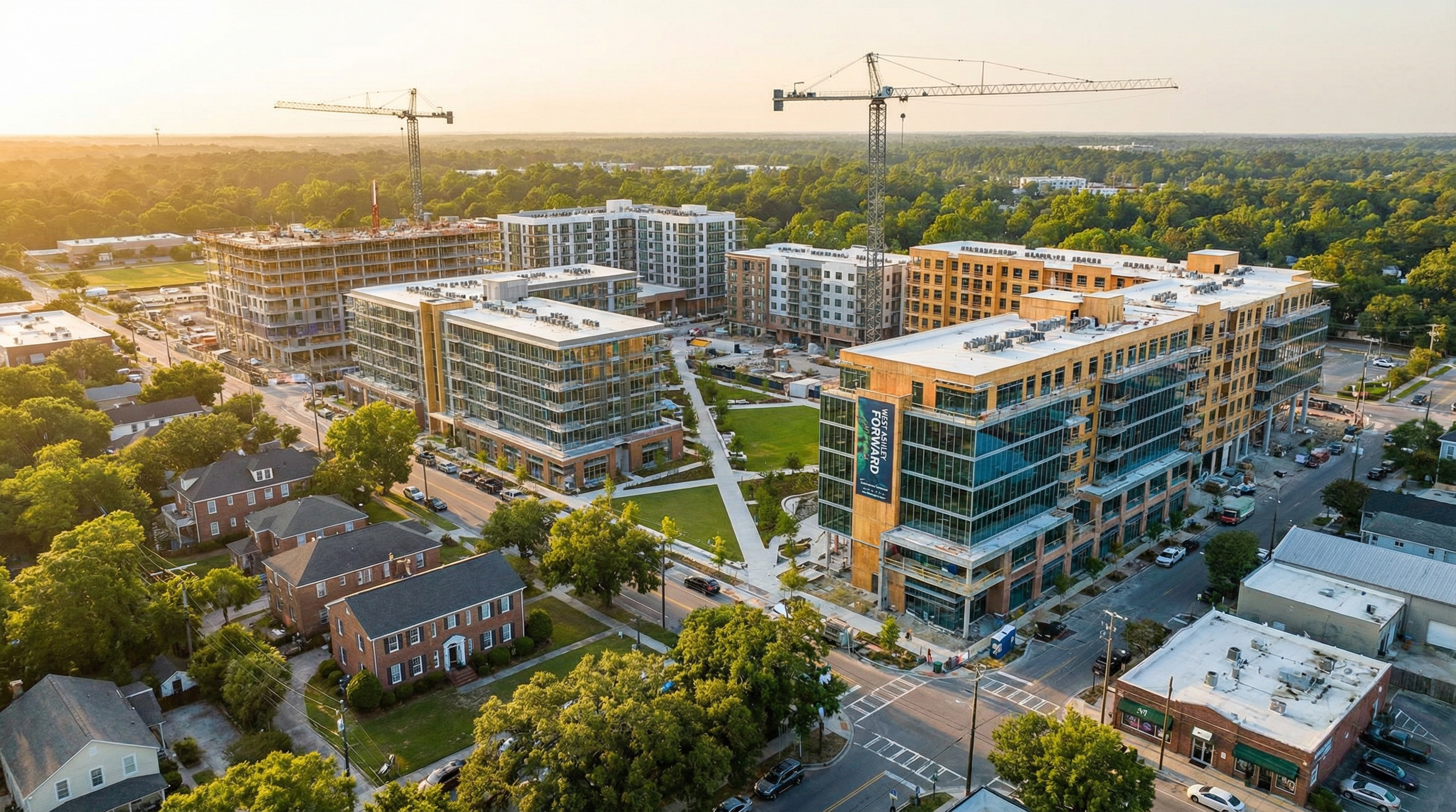
West Ashley stands to benefit substantially, though with a significant caveat: the construction disruption will be real. Glenn McConnell Parkway improvements, combined with the I-526 Lowcountry Corridor WEST project, create a double-timeline of infrastructure work that West Ashley residents will navigate for the better part of a decade.
The long view, however, is compelling. West Ashley has been undervalued relative to its proximity to downtown Charleston for years, partly because the commute infrastructure hasn't kept pace with development. If the funded projects deliver, West Ashley's value proposition -- larger lots, more affordable price points, and genuine proximity to the peninsula -- gets significantly stronger. For more on current conditions, see my West Ashley market report.
The traffic question is the number one concern from every relocating buyer I work with, particularly those coming from the Northeast. They've lived the commute nightmare before, and they're not willing to do it again. This infrastructure investment is the single most important factor in how Charleston's neighborhoods rank against each other over the next two decades.
Daniel Island: Clements Ferry and Long Point Road
Daniel Island has a unique position in this conversation. The island itself is well-planned and relatively insulated from the worst traffic, but its access points -- Clements Ferry Road and the I-526 interchange -- have been stress points for years. Funded improvements to these corridors would make Daniel Island feel less like an island in the traffic sense, which matters for families with one spouse commuting to Mount Pleasant and another to North Charleston or downtown.
Long Point Road improvements also benefit the Clements Ferry corridor and the growing healthcare and commercial development in that area. For a deeper look at that growth, my post on the Clements Ferry healthcare corridor covers the development pipeline.
What Infrastructure Investment Means for Property Values
Let me be direct about the evidence. Historically, sustained infrastructure investment in under-served corridors supports appreciation. It doesn't guarantee it -- execution matters, timelines matter, and construction disruption can temporarily suppress demand. But the long-term signal is clear: when a government commits billions to a corridor, it's betting on that corridor's future, and property values tend to follow that bet.
| Neighborhood | Key Corridors Impacted | Expected Benefit | Construction Disruption Risk |
|---|---|---|---|
| Mount Pleasant | Highway 17, Long Point Rd | Commute time reduction | Moderate |
| West Ashley | Glenn McConnell, I-526 | Value unlocking, downtown access | High (5-10 years) |
| Daniel Island | Clements Ferry, I-526 | Improved access points | Moderate |
| Park Circle | I-26 corridor | North Charleston connectivity | Moderate |
| Johns Island | Main Road, Maybank Hwy | Congestion relief | High |
The Counter-Argument: What Could Go Wrong
I'm not going to pretend this is all upside. Twenty-five-year infrastructure programs have a mixed track record everywhere, including Charleston. Not all projects will complete on schedule. Some will be redesigned mid-stream as costs inflate and priorities shift. Construction disruption for 5 to 10 years along key corridors will frustrate residents and, in some cases, temporarily depress nearby property values.
For buyers, the honest advice is this: don't buy a home based on a road that hasn't been built yet. Buy based on current conditions and current value, and treat the infrastructure investment as long-term upside rather than a near-term guarantee. If the home works for you today, and the neighborhood trajectory supports appreciation, the transportation improvements become a tailwind rather than the thesis.
How to Think About This as a Buyer or Seller
If you're buying, ask me which funded projects directly affect your target neighborhood and what the realistic timeline looks like. I'll give you a candid assessment -- not the optimistic version, but the one based on how infrastructure projects actually unfold in Charleston County.
If you're selling, particularly in West Ashley or along the I-526 corridor, understand that the funded commitment itself is a selling point, even before a single shovel hits the ground. Buyers who do their research -- and the serious ones always do -- will see the infrastructure pipeline as a signal of where the region is heading. Position your listing accordingly.
If you want to talk through how the transportation plan affects your specific neighborhood or purchase timeline, let's connect. This is the kind of conversation that's better had over the phone than in a blog post.