I've been selling homes in the Lowcountry long enough to remember when flood insurance was almost an afterthought -- a line item on the closing disclosure that most buyers barely glanced at. That era is over. Between FEMA's updated flood maps, the rollout of Risk Rating 2.0, and the reality that Charleston sits at sea level in a subtropical climate, flood insurance is now one of the most important financial variables in any home purchase here. Let me break this down in the order it matters: what flood zones mean, what an elevation certificate tells you, and what Risk Rating 2.0 actually changed.
Flood Zones: What AE and X Actually Mean
FEMA designates flood hazard zones on its Flood Insurance Rate Maps (FIRMs), and the two zones you'll encounter most often in the Charleston area are Zone AE and Zone X.
- Zone AE (high-risk) -- FEMA has determined a 1% annual chance of flooding (the "100-year floodplain"). If you have a federally backed mortgage -- Fannie Mae, Freddie Mac, FHA, VA -- flood insurance is mandatory. The "AE" designation includes a specific Base Flood Elevation (BFE), which tells you the elevation floodwaters are expected to reach during a 1% annual chance event.
- Zone X (moderate-to-minimal risk) -- Lower probability of flooding. Flood insurance is not required by most lenders, though some do require it. Important: "not required" does not mean "not needed." Nearly 30% of all NFIP flood claims come from Zone X properties.
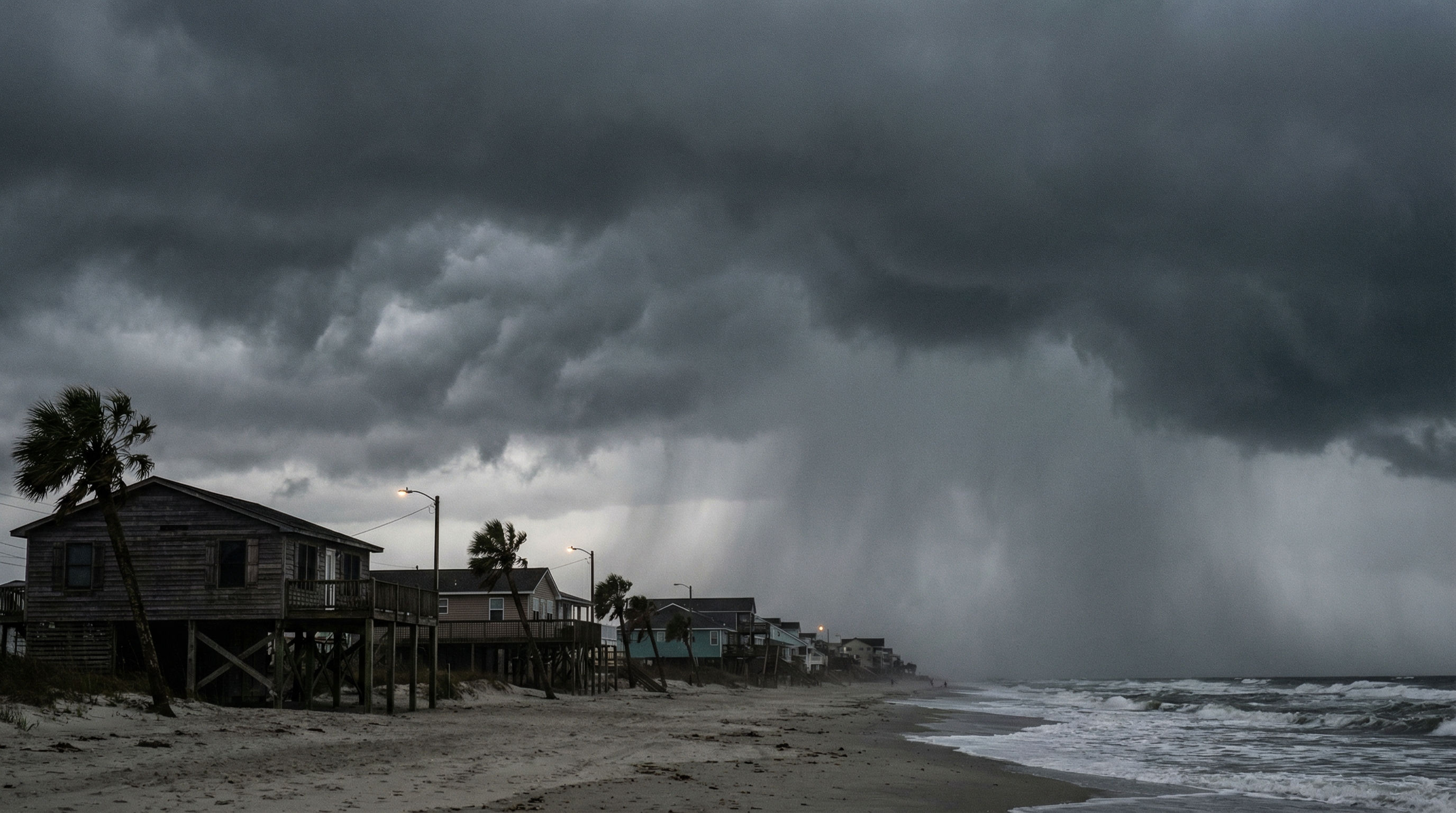
You'll also occasionally see Zone VE along the beachfront on Isle of Palms -- that's the high-risk coastal zone where wave action adds to the flood risk. Premiums in VE zones are the highest you'll see.
Why Your Neighbor Pays Half What You Do
Before FEMA's Risk Rating 2.0 went into effect, flood insurance pricing was relatively simple: your premium was determined primarily by your flood zone and your building's elevation relative to the Base Flood Elevation. Everyone in Zone AE with similar elevation paid roughly similar rates. That's no longer the case.
Risk Rating 2.0 is FEMA's modernized pricing methodology for the National Flood Insurance Program. Instead of relying almost exclusively on flood zone maps, it incorporates a much broader set of risk factors:
- Distance to a water source (river, creek, ocean, marsh)
- Type of flooding (coastal surge, riverine, heavy rainfall, tidal)
- Building characteristics (foundation type, first floor height, number of floors)
- Historical flood claims on the property
- Cost to rebuild the structure
The result is that two homes on the same street, both in Zone AE, can now have dramatically different premiums. I've seen this firsthand on Daniel Island, where some sections sit in Zone X with no mandatory flood insurance requirement, while adjacent sections are in Zone AE with annual premiums running $3,000 to $8,000 or more. The difference depends on elevation, proximity to the Wando River, and the specific building characteristics.
I tell every buyer the same thing: do not assume your flood insurance cost based on the zone alone. Get the actual premium quote before you write your offer. In the Lowcountry, the flood insurance premium can be the difference between a home that fits your budget and one that doesn't.
Elevation Certificates: Your Most Important Document
An elevation certificate is a document prepared by a licensed surveyor that records the elevation of your building's lowest floor relative to the Base Flood Elevation. Before Risk Rating 2.0, this document was essentially the primary driver of your flood insurance premium in Zone AE. Now it's one factor among many, but it remains critically important -- and here's why.
If your home's lowest floor is above the BFE, your premiums will be lower. If it's below, they'll be significantly higher. In some cases, a home sitting even one foot below BFE can cost thousands more per year than one sitting one foot above. The elevation certificate provides the precise measurement.
When to Get One
My standing advice: always get an elevation certificate before closing, even if the property is in Zone X. Here's why:
- Zone X doesn't mean "no flood risk" -- it means lower probability. Charleston's topography is complex, and localized flooding happens in areas FEMA hasn't mapped as high-risk.
- Maps change -- Charleston County's flood maps were updated effective January 29, 2021, and properties that were in Zone X were reclassified to AE (and some went the other direction). If your Zone X property gets reclassified in the next map update, having a pre-existing elevation certificate gives you better pricing options.
- It's leverage in negotiation -- if the elevation certificate reveals the home sits below BFE, that's a material cost factor that may affect your offer price.
If the seller already has an elevation certificate, request it during due diligence. If they don't, budget $300 to $500 to have one prepared. It's one of the best investments you can make before closing.
Premium Ranges: What You'll Actually Pay
Let me give you realistic ranges for the Charleston area, though I want to be clear -- every property is different under Risk Rating 2.0, so these are general benchmarks, not guarantees.
| Scenario | Annual Premium Range |
|---|---|
| Zone X, elevated, inland | $400 - $800 |
| Zone X, lower elevation, near tidal creek | $800 - $2,000 |
| Zone AE, above BFE, inland | $1,500 - $3,500 |
| Zone AE, near coast or river | $3,000 - $8,000 |
| Zone AE/VE, beachfront Isle of Palms | $5,000 - $10,000+ |
For a detailed look at how flood maps and Risk Rating 2.0 pricing interact -- because they're actually two separate systems -- see my post on flood maps vs flood insurance prices.
The Daniel Island Example
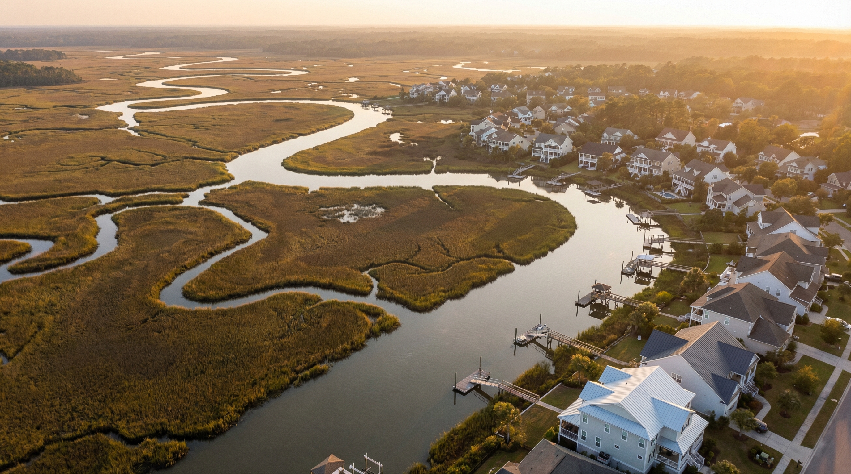
Daniel Island is a perfect case study because it spans multiple flood zones within a relatively small area. Properties along the perimeter near the Wando River and along the marsh edges tend to be in Zone AE. Interior properties, particularly in the more recently developed sections, often sit in Zone X on higher ground.
For a buyer comparing two homes on Daniel Island -- one in Zone X and one in Zone AE near the river -- the flood insurance difference can easily be $3,000 to $8,000 per year. Add that to the property tax implications if the home is a second residence, and you're looking at $10,000+ per year in carrying cost differences that have nothing to do with the purchase price.
What to Do Before You Close on a Lowcountry Home
Here's the checklist I walk through with every buyer:
- Identify the flood zone -- check the FEMA Flood Map Service Center for the property's specific designation
- Request or obtain an elevation certificate -- don't skip this even in Zone X
- Get a flood insurance quote -- from the NFIP and at least one private flood carrier for comparison
- Factor it into your offer -- if flood insurance is $6,000/year instead of $600, that changes your effective monthly cost by $450
- Understand the transfer -- if the seller has an existing NFIP policy, it can often be assigned to you, which may preserve more favorable pricing
Flood insurance isn't something to figure out after you buy. It's part of the due diligence, and in the Lowcountry, it's as fundamental as the home inspection. If you're looking at properties on Isle of Palms, Daniel Island, or anywhere near the coast, let me know -- I'll make sure we have the full insurance picture before you make a decision.